Geological time — Earth's history spans billions of years, while many landscape features developed over millions or thousands. Humans can change a surface rapidly without creating its underlying rocks in the same time. Use a labelled timeline with consistent intervals and distinguish the age of a rock from the age of the landform cut into it. A deep valley is not automatically older than every hill beside it.
Evidence of change — Rock layers, fossils, volcanic deposits and landforms provide different evidence of past environments. A marine fossil in rock now above sea level can indicate deposition (material settling) in an earlier marine setting (in the sea), followed by uplift (land being raised) or other change. Interpret evidence with its context; one specimen without its source location cannot establish an entire regional history.
Plate tectonics — The outer rigid part of Earth is divided into moving plates containing crust, Earth’s thin rocky outer layer, and uppermost mantle, part of the much thicker layer beneath it. Plates move slowly relative to one another above deeper material that can deform over long timescales. They are not simply continents floating on an ocean of liquid magma. Plate interactions help explain broad patterns of earthquakes, volcanism and mountain building, while not every event occurs exactly on a boundary.
Divergent boundaries — At a divergent boundary plates move apart; in suitable settings magma rises and cools to form new crust. Iceland lies on a spreading plate boundary and also has additional volcanic processes associated with its location. Relate the process to an atlas and a cross-section, distinguishing the slow plate movement from a rapid eruption event.
Convergent boundaries — Where plates converge, a denser oceanic plate may descend beneath another plate in subduction, producing earthquakes. Water released from the descending plate helps rock in the mantle above it melt; some magma can rise and feed volcanoes. Where continental crust collides, it can thicken and uplift into mountains, as in the Himalayas. Not every convergent boundary has identical landforms; distinguish oceanic subduction from continental collision.
Conservative boundaries and earthquakes — At a conservative boundary plates move past one another. Friction can resist movement until rock is gradually deformed, storing energy. A sudden slip on a fault (a break along which rock moves) releases energy as seismic waves, vibrations travelling through Earth. The San Andreas fault system provides a place-based example in California. Earthquakes do not require a volcano, and their effects depend on depth, location, buildings and people's exposure as well as event size.
Hazards and people
Hazard, exposure and vulnerability — A hazard is a potentially damaging process; exposure concerns people or assets in its path, and vulnerability means how easily people or buildings may be harmed. For example, two equally exposed buildings can have different vulnerability if one is better designed to withstand shaking. A similar earthquake can have different effects in places with different buildings, preparedness and access to help. Avoid treating casualties as a simple direct measure of event magnitude or judging communities from one disaster image.
Reducing tectonic risk — Monitoring, safer construction, education, emergency plans and appropriate land-use decisions can reduce risk, but they do not stop plate motion. Exact earthquake prediction is not reliably available in the everyday sense of knowing the precise time, place and size in advance. Distinguish forecasting risk and issuing suitable warnings from promising certainty about every future event.
Rocks and weathering
Igneous rocks — Igneous rocks form when molten material cools and solidifies. Slower cooling below ground often allows larger crystals, while rapid surface cooling often produces smaller crystals. Granite and basalt illustrate useful contrasts, but not every dark rock is basalt. Identify evidence and properties rather than relying on colour alone.
Sedimentary rocks — Sediments can be deposited, buried, compacted (squeezed by the weight above) and cemented (grains bonded by minerals) into sedimentary rock. Layers and some fossils can preserve information about past conditions; limestone also includes important biological and chemical formation processes. Transport, deposition and rock formation occur at different stages. A pile of loose sand is sediment, not automatically a fully formed sandstone.
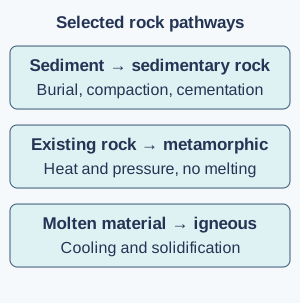
Metamorphic rocks and the rock cycle — Heat and pressure can alter existing rock without melting it into a new igneous rock. Slate and marble are examples of metamorphic rocks. The rock cycle links weathering, transport, deposition, burial, heating, melting and cooling through several possible paths; every rock does not follow one fixed sequence at the same speed.Selected rock-cycle pathways: sediment can be buried and bonded, existing rock can alter without melting, and molten material cools to form igneous rock. These are alternatives rather than a compulsory one-way sequence. Full-size diagram
Weathering and erosion — Weathering breaks down or alters rock in place; erosion involves removal and movement. Freeze–thaw action can widen cracks: water enters a crack, expands when it freezes, and repeated freezing and thawing can loosen pieces of rock, while chemical reactions can dissolve or change some minerals. Roots and organisms can also contribute. Processes depend on rock and environmental conditions, so 'cold' alone does not explain every broken surface.
Rock and landscape — Permeability (how easily water passes through rock), resistance (how well rock withstands erosion), fractures (breaks) and layering affect drainage and landscape development. Joints are natural cracks in rock. Limestone landscapes in parts of the Yorkshire Dales illustrate how water can enter joints and dissolve rock, while resistant layers can form distinct relief. Rock type is one influence among climate, uplift, erosion and human use; avoid claiming that every example of one rock has the same scenery.
Soils as a living system
Soil formation — Soil develops through weathered material, organic matter, organisms, water and air over time. Parent material, climate, vegetation, relief and human use influence its properties. It is more than ground-up rock and may have layers with different characteristics. A dark sample may contain more organic matter, but colour alone does not prove fertility or safety.
Soil water and use — Soil texture means the sizes of its particles; structure means how they group together. These and organic matter influence infiltration (water entering soil), water storage and aeration (air reaching spaces in soil). Waterlogged soil has less air in its pores, while rapidly draining soil may lose water available to plants. Test a stated property using controlled samples and methods. A single school sample cannot represent every soil across a large region.
Soil damage and conservation — Removing vegetation, compacting ground or managing land poorly can increase erosion or reduce soil function. Cover crops, careful grazing, organic matter management and other suitable measures can protect it, depending on the place. People rely on functioning soils for food and water regulation, so a short-term production gain may create longer-term costs if soil is lost.
Test yourself
50 questions · Random sets of 10. These quick checks support revision; practise longer explanations and justified judgements too.
Mind map
Use the branches to recall the ideas and explain their connections. Check the revision notes for the full detail.
KS3GEO2 · 1
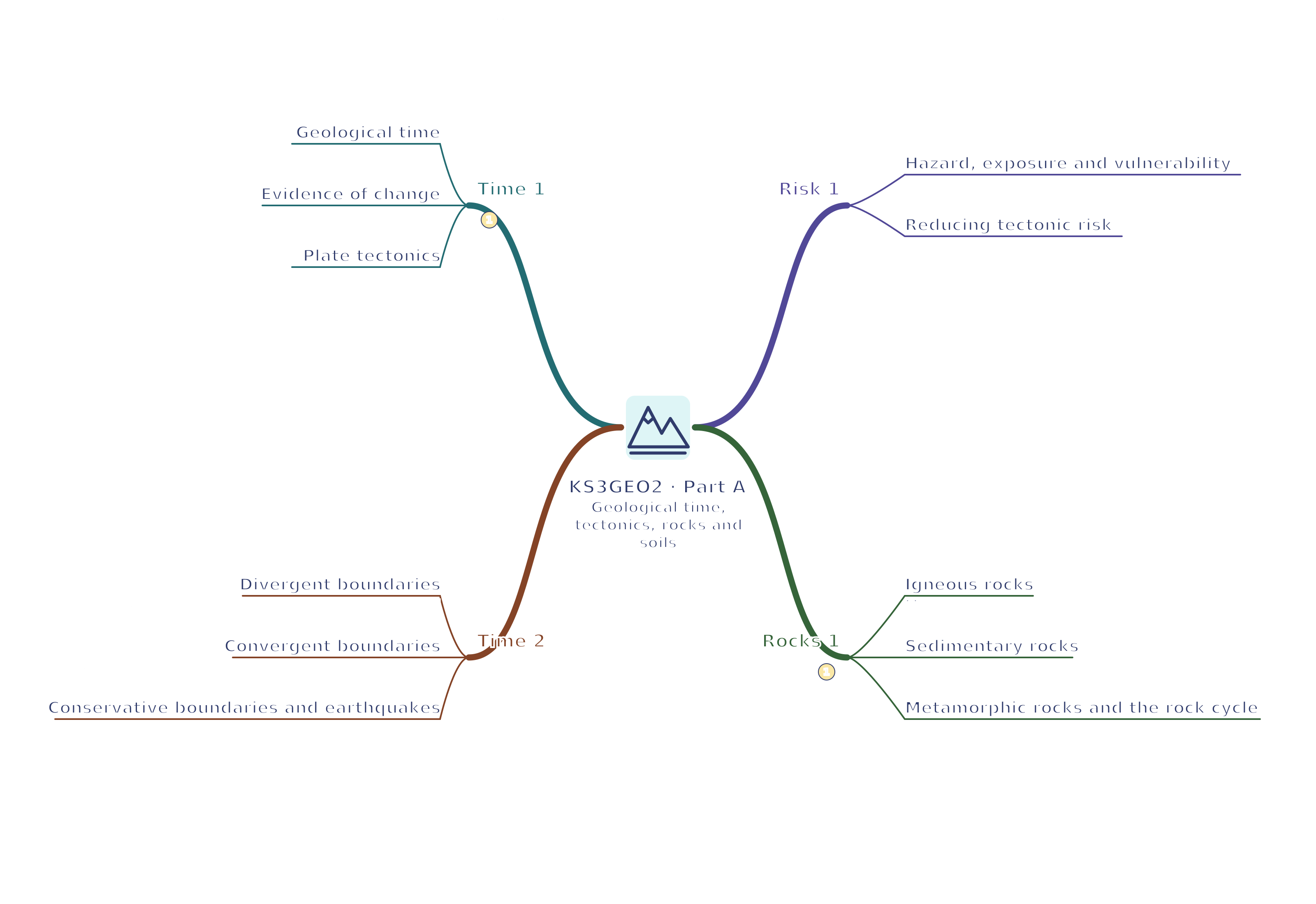
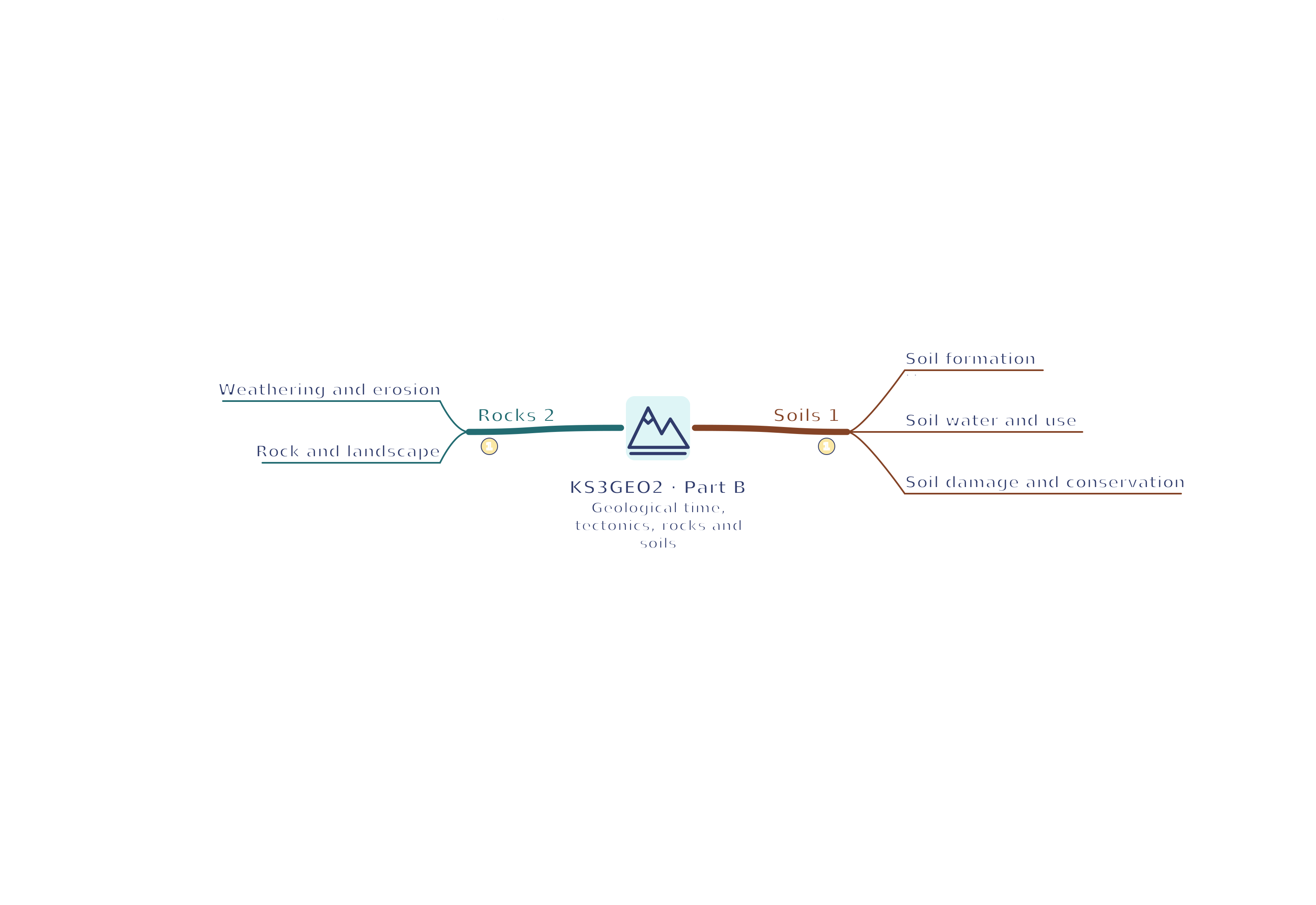
View KS3GEO2 · 1 mind mapOpen the full-size map to zoom. Use the printable view for A4 landscape or enlarge to A3.
 Mr Kidman's Classroom